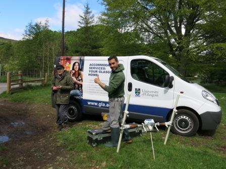
Collaboration with the University of Glasgow
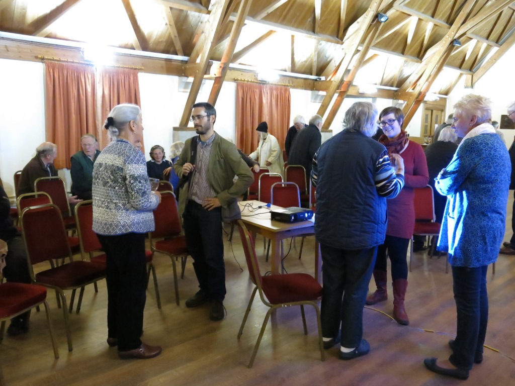
Collaboration with a University of Glasgow team led by Dr. Anouk Busset and Dr. Adrian Maldonado began in 2017. The University of Glasgow team were carrying out research, geophysical surveys and excavation at sites in Glen Lyon as part of a study of The Early Christian Landscape of Glen Lyon. Anouk made a presentation of their initial research work in Glen Lyon at the Molteno Hall in September 2017.
Permissions
The possibilities for a geophysical survey were discussed and in 2019, the landowner kindly gave permission for the University of Glasgow team to survey in a field south west of Fortingall, away from the Scheduled Monuments but in an area with interesting landscape features visible in aerial photographs and on the ground.
The 2019 Geophysical Survey in ‘Dalreoch’ Field
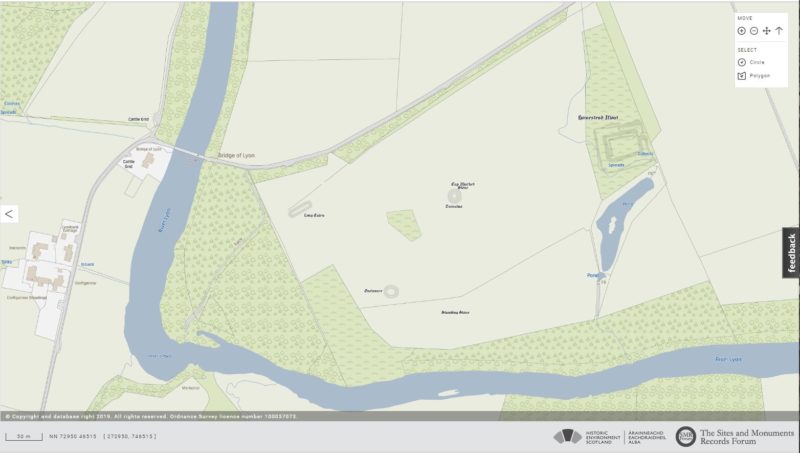
Map of the ‘Dalreoch’ Field from Pastmap’s OS Mapping
The field lying was described by Roy, Stobie and the OS map of 1862 as the ‘Roman Camp’. Charles Stewart called the place ‘Dalreoch’ in 1884. It is immediately to the west of the rectangular feature shown on Stobie’s 1783 map and described on the OS map of 1862 as the ‘Praetorium’, but later recognised as a medieval moated enclosure (1). It is now a Scheduled Monument(1). The field contains a long cairn (2) the barrow with cup-marked stone (3), (both Scheduled Monuments), a circular enclosure (4), a cairnfield (5), a rectangular enclosure (6) and the linear feature running south east to north west shown on Stobie’s map of 1783. The road layout bounding the field shown by Stobie, changed in 1793 when the bridge over the Lyon was built. The field topography is dominated by river terraces formed since the last deglaciation and clearly visible in the aerial photographs. These terraces have been ploughed out in adjacent fields.
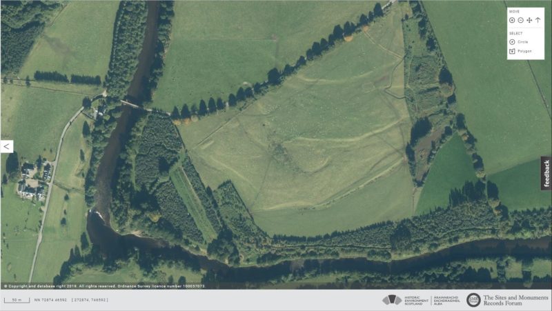
Aerial View of Dalreoch Field from Pastmap
The Geophysical Survey
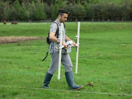
A Bartington high resolution fluxgate gradiometer was used to map magnetic anomalies in the ground. The technique can identify disturbed soils and features such as ditches, walls and hearths. A Geoscan RM85 resistance meter with probes was used to map ground electrical resistance in parts of the surveyed area.
Problems with the equipment limited the area that could be mapped by resistance but all the selected grids were mapped using the fluxgate gradiometer over Wednesday afternoon, Thursday and Friday morning.
Adrian Maldonado setting up the Bartington fluxgate gradiometer
A baseline was created using 12 canes 20m apart. The areas to be surveyed were gridded using 20m squares built up from the baseline, the locations of grid corners measured by GPS and lines 2m apart laid within each grid to guide the gradiometer.
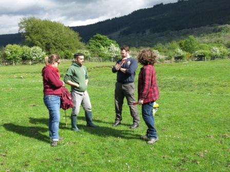
Team Glasgow – Anouk, Adrian, Scott and Megan planning the survey
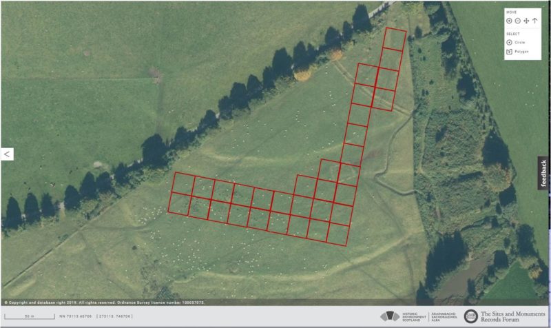
Aerial Image with the Survey Grids Superimposed
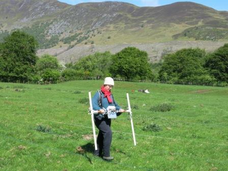
Adrian Maldonado in action with gradiometer
Anouk Busset with the gradiometer in the unrecorded ‘cist’ area
Problems with the resistance meter
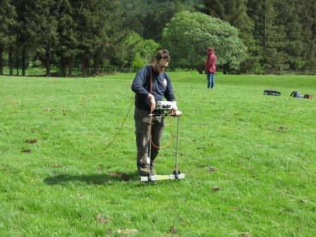
Scott driving the resistance meter
References in Text
- https://canmore.org.uk/site/24963/fortingall
- https://canmore.org.uk/site/24999/fortingall
- https://canmore.org.uk/site/25002/lyon-bridge
- https://canmore.org.uk/site/25001/bridge-of-lyon
- https://canmore.org.uk/site/24969/fortingall
- https://canmore.org.uk/site/73796/fortingall